|
| *****SWAAG_ID***** | 473 |
| Date Entered | 22/03/2012 |
| Updated on | 22/03/2012 |
| Recorded by | Stephen Eastmead |
| Category | Mining Related |
| Record Type | Mining |
| Site Access | Public Access Land |
| Record Date | 21/03/2012 |
| Location | Brownsey Moor |
| Civil Parish | Melbecks |
| Brit. National Grid | SD 96904 98833 |
| Altitude | 439m |
| Record Name | Brownsey Level |
| Record Description | On Brownsey Moor all levels to the east of Victoria and Kinning levels were essentially non-productive.
Brownsey level was started in the 1860's and extends 430 feet northwards in search of Dunn's vein which it found but was very poor. It was extended searching for the southern end of Watersykes Vein which it never found. It closed at the end of 1871.
|
| Image 1 ID | 2380 Click image to enlarge |
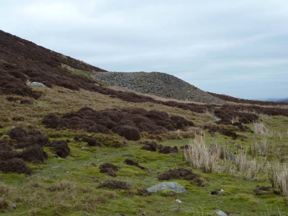
| Image 1 Description | Spoil heap |  |
| Image 2 ID | 2381 Click image to enlarge |
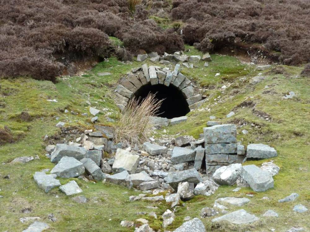
| Image 2 Description | Brownsey Level | 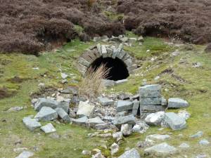 |
| Image 3 ID | 2382 Click image to enlarge |
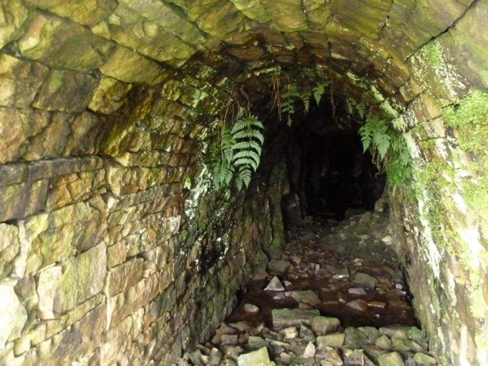
| Image 3 Description | Brownsey Level | 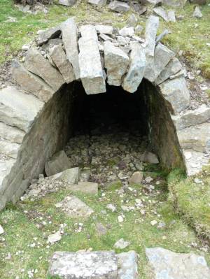 |
| Image 4 ID | 2383 Click image to enlarge |
| Image 4 Description | Brownsey Level |  |
| Image 5 ID | 2384 Click image to enlarge |
| Image 5 Description | Brownsey Level Spoil heap | 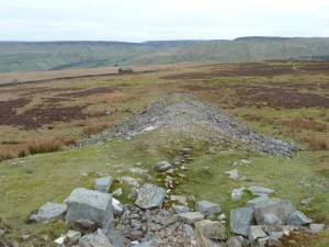 |